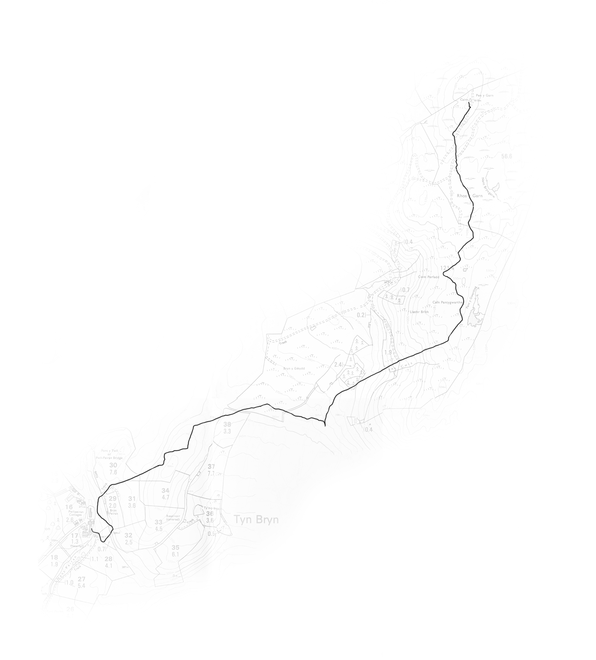
It was an eventful afternoon – my sole aim was to re- trace the first four crawls by foot to check my GPS readings, because sections were missing, I re- walked the last four crawls last week
First of all I headed up the forestry commission tracks to reach the wind turbines, my usual parking spot when working along the ridge, but the car got stuck in the snow! it was a bit hairy – solved by reversing a mile or so all the way back down to below the snow line
So then I tried a different approach, which was to just scramble up the hillside to get to the ridge, Hannah and I had done it before, but I got really shouted at by a landowner for attempting to go through his gate, I had to calm him down and convince him I was a nice person and I wouldn’t be cutting his fences, anyway despite calming him down he still sent me quite a long way round to get up to the top
Finally when I got to the top I was very nervous as to whether I should charge off into the snow with the rather ominous looking dark clouds looming in the east, a few hours of daylight left, below zero temperatures, no mobile signal and no one knew I was up there, I was remembering the second crawl attempt back in July where Hannah, Destina and I got totally lost only about 5 minutes from the car! – I knew I was being an idiot, but I knew it was my last chance to the get the GPS readings..so off I went…my supplies were some water, oat cakes, banana and an apple! I ran most of the way with my heart in my stomach and wobbly legs, but like all great expeditions – they always seem well worth it when you get back to the car!
I love my little line/map drawings, I love them because they reveal absolutely nothing, they are absolutely devoid of all information and experience – how can that be!?